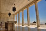
Taluksangay Mosque: The Oldest Islamic Center in the Zamboanga Peninsula
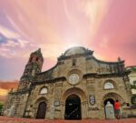
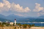
The drive east from Zamboanga City proper toward Barangay Taluksangay shifts gradually from busy urban streets to a calmer coastal stretch. About 19 kilometers out,


The drive east from Zamboanga City proper toward Barangay Taluksangay shifts gradually from busy urban streets to a calmer coastal stretch. About 19 kilometers out,

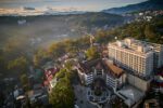
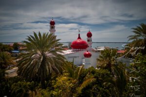
Driving through Tumaga Road in Barangay Sta. Maria, I remember how the dome appeared before I even realized I was looking for it. The colors


Driving through Tumaga Road in Barangay Sta. Maria, I remember how the dome appeared before I even realized I was looking for it. The colors
The drive east from Zamboanga City proper toward Barangay Taluksangay shifts gradually from busy urban streets to a calmer coastal stretch. About 19 kilometers out,