
Mount Pulag: Exploring Luzon’s Highest Peak and Natural Wonders
Mount Pulag, rising to 2,922–2,928 meters above sea level, is the highest peak in Luzon and the third-highest in the Philippines. Its summit sits at
“`html
Traveling through Benguet Province feels like moving through a series of elevated worlds. Mountains, valleys, and plateaus dominate the landscape, and each town carries its own character shaped by altitude, climate, and tradition. The air is cooler, the light softer, and the rhythm of life is guided by the seasons and the soil rather than urban schedules.
In Baguio City, though administratively separate, the city acts as the province’s hub. Streets bustle with markets, schools, and shops, yet heritage and greenery remain integral. Burnham Park and the surrounding gardens offer moments of pause, while streets leading to Session Road reveal a mixture of commerce and local culture that flows continuously.
Northward, towns like Tublay and Itogon reveal Benguet’s mining and agricultural history. Terraced fields stretch across hillsides, and small communities maintain routines tied closely to the land. Early mornings offer soft mist lifting over slopes, providing natural frames for photography and a quiet sense of daily life unfolding in sync with nature.
Western towns such as La Trinidad and Sablan highlight horticulture and cultural continuity. La Trinidad Valley is renowned for strawberry fields and vegetable farms, where local farmers carefully tend crops that sustain both livelihoods and traditions. Markets brim with produce, and food culture reflects the freshness and abundance of the land.

Mount Pulag, rising to 2,922–2,928 meters above sea level, is the highest peak in Luzon and the third-highest in the Philippines. Its summit sits at

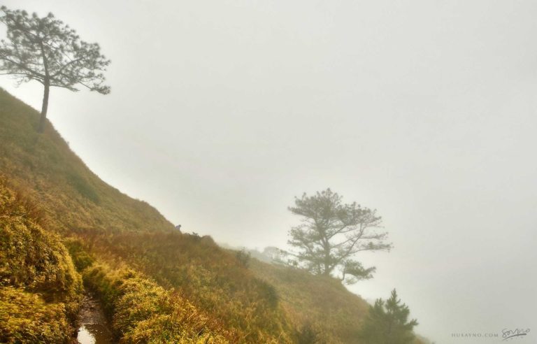
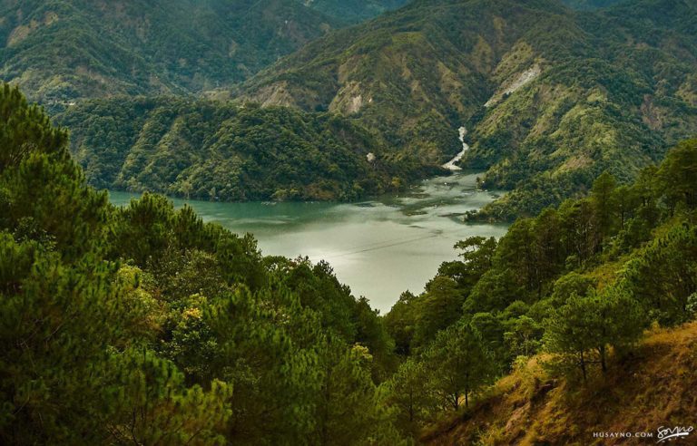
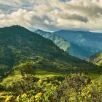
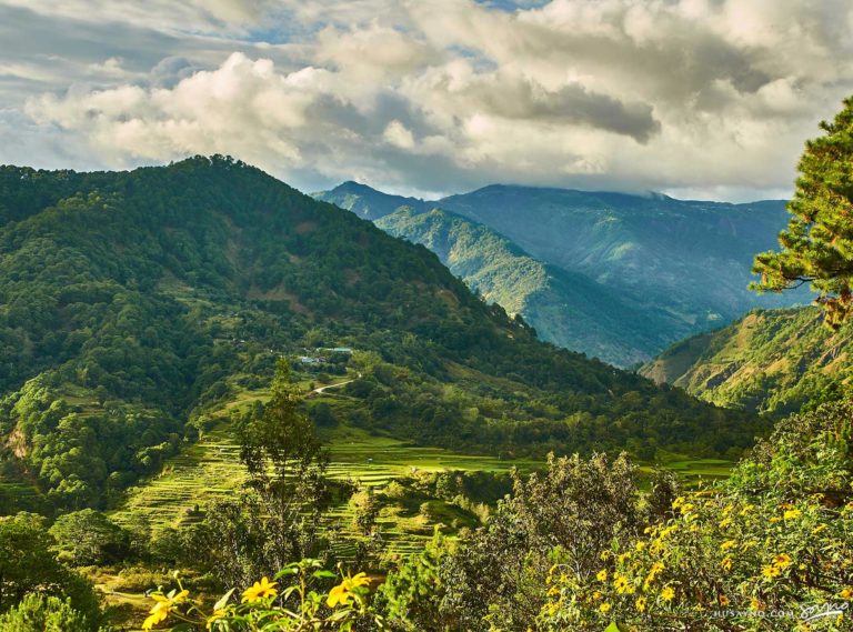
Kabayan, Benguet is a fourth-class municipality in the Cordillera Administrative Region of northern Luzon, Philippines. Covering roughly 242.69 km² of mountainous terrain, it is home to

Ambuklao Dam is located in Barangay Ambuclao, Municipality of Bokod, Benguet, roughly 36 kilometers from Baguio City in northern Luzon. It spans the Agno River
Further east, Kibungan and Mankayan reveal rugged terrain and mineral-rich landscapes. Roads wind through forests and rivers, offering glimpses into communities shaped by both resourcefulness and isolation. Life here moves deliberately, informed by geography and history rather than speed or trend.
Festivals, crafts, and rituals remain central across towns like Bakun and Tuba. Cultural heritage manifests in everything from woven textiles to local ceremonies, creating layers of narrative that are best appreciated slowly, with attention to detail and context. Photography captures not only the landscape but the cadence of human presence within it.
Food in Benguet is grounded in seasonality and practicality. Dishes feature vegetables, root crops, and locally sourced meats, prepared simply to highlight flavor and freshness. Meals are often communal, reflecting how life here is intertwined with land, labor, and shared time.
As a traveler and photographer, Benguet Province rewards awareness. Mountains, valleys, towns, and people coexist in a rhythm that invites observation and careful composition. Each frame, whether of terraces, markets, or streets, tells a story of continuity, resilience, and harmony with the environment.
Leaving Benguet, the lingering impression is of space and altitude shaping life, and of communities that have learned to move with the land rather than against it.
EXPLORE MORE ABOUT THE
Philippines
BROWSE BY CATEGORIES
BROWSE BY PROVINCE