
Rainbow Mosque: The Story Behind Zamboanga’s Most Vibrant Landmark
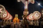
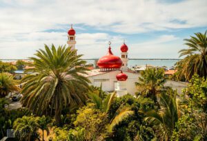
Driving through Tumaga Road in Barangay Sta. Maria, I remember how the dome appeared before I even realized I was looking for it. The colors

 1 Mariano Sayno")
 1 Mariano Sayno")
 Mariano Sayno")
 Mariano Sayno")
 1 Mariano Sayno")
 1 Mariano Sayno")
 1 Mariano Sayno")
 1 Mariano Sayno")

 1 Mariano Sayno")

 1 Mariano Sayno")
 1 Mariano Sayno")
Driving through Tumaga Road in Barangay Sta. Maria, I remember how the dome appeared before I even realized I was looking for it. The colors
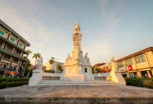
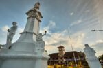
The atmosphere surrounding Plaza Rizal begins to reveal itself long before visitors step directly into the park. Moving through the downtown district of Zamboanga City,
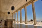
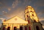
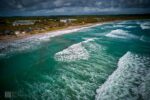
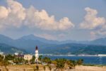
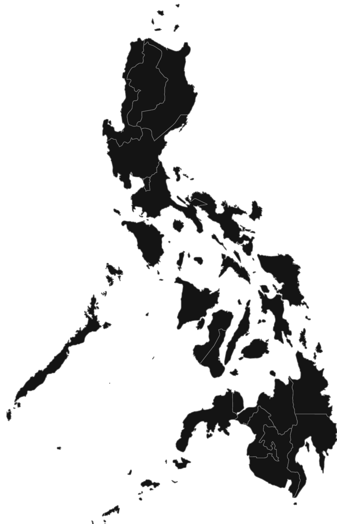
The drive east from Zamboanga City proper toward Barangay Taluksangay shifts gradually from busy urban streets to a calmer coastal stretch. About 19 kilometers out,
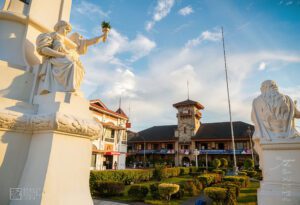
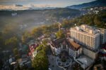
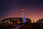
At the center of Plaza Rizal stands one of the most recognizable civic landmarks in Mindanao: Zamboanga City Hall. Seen from the surrounding streets of
Driving through Tumaga Road in Barangay Sta. Maria, I remember how the dome appeared before I even realized I was looking for it. The colors
The drive east from Zamboanga City proper toward Barangay Taluksangay shifts gradually from busy urban streets to a calmer coastal stretch. About 19 kilometers out,
At the center of Plaza Rizal stands one of the most recognizable civic landmarks in Mindanao: Zamboanga City Hall. Seen from the surrounding streets of
The atmosphere surrounding Plaza Rizal begins to reveal itself long before visitors step directly into the park. Moving through the downtown district of Zamboanga City,