
Taluksangay Mosque: The Oldest Islamic Center in the Zamboanga Peninsula
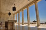
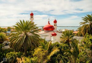
The drive east from Zamboanga City proper toward Barangay Taluksangay shifts gradually from busy urban streets to a calmer coastal stretch. About 19 kilometers out,
The atmosphere surrounding Plaza Rizal begins to reveal itself long before visitors step directly into the park. Moving through the downtown district of Zamboanga City, the streets gradually shift from commercial corridors into older sections where surviving heritage buildings, government structures, and colonial-era layouts still shape the visual identity of the city center. Traffic continues to flow through the surrounding roads, jeepneys stop along nearby streets, and pedestrians move constantly between offices, eateries, schools, and public buildings, yet the plaza remains one of the few spaces where the pace briefly slows within the middle of the urban district.
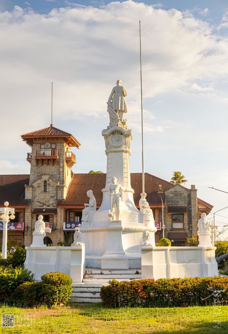
Positioned directly in front of the historic Zamboanga City Hall, the plaza functions as far more than a landscaped public park. It serves as one of the city’s most recognizable civic spaces and remains deeply tied to the political, colonial, and urban evolution of Zamboanga itself. Locals commonly refer to the site as Plaza Rizal, a name that reflects both familiarity and its longstanding place within the public memory of the city.
Unlike isolated heritage attractions preserved mainly for tourism, the plaza continues to operate as part of daily urban life. Office workers cross through the park during work hours, students gather along shaded sections, commuters pass the area throughout the day, and visitors exploring downtown heritage sites often pause at the plaza before continuing toward nearby landmarks. This constant public movement gives the space a lived-in atmosphere that distinguishes it from more museum-like historical districts elsewhere in the country.
Like many parks named after Dr. José Rizal across the Philippines, Plaza Rizal in Zamboanga City emerged during the American colonial period as part of a nationwide movement to establish civic spaces dedicated to the national hero. During the early twentieth century, plazas honoring Rizal became central features in many Philippine towns and cities, frequently positioned near churches, municipal halls, and government institutions.
In Zamboanga, the plaza gained particular importance because of its placement within the old administrative district established during the American occupation. The surrounding area gradually evolved into the city’s formal civic center, connecting governance, public gatherings, transportation, and everyday social activity within one concentrated urban zone.
This arrangement reflected broader colonial planning principles inherited from both Spanish and American urban design traditions. Open plazas were intentionally positioned beside important institutions in order to create symbolic centers of authority and civic interaction. In the case of Plaza Rizal, this planning relationship remains especially visible because of its direct alignment with Zamboanga City Hall, one of the oldest functioning city halls in the Philippines.
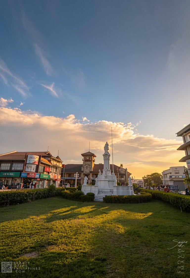
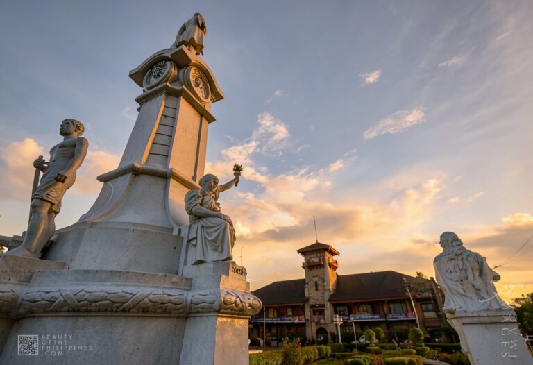
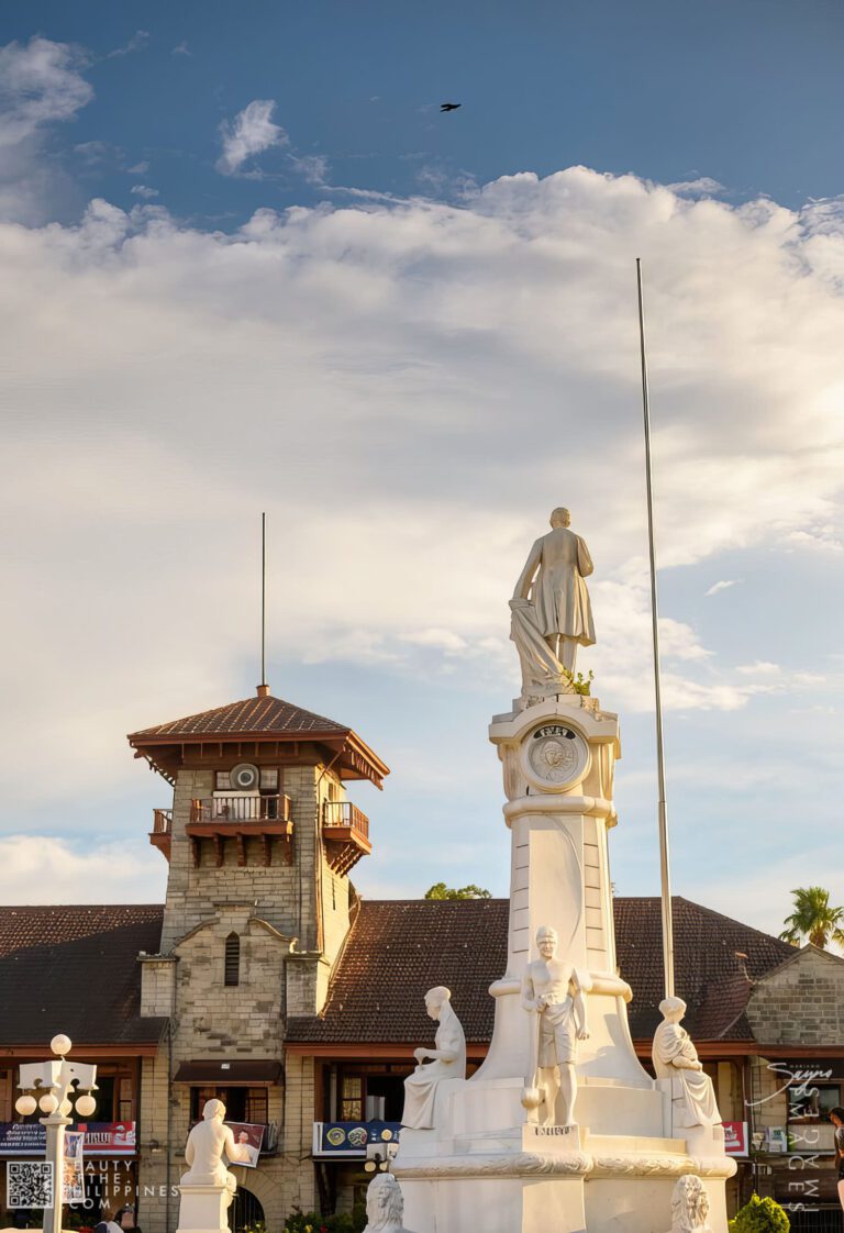
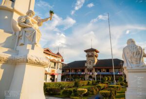
Constructed between 1905 and 1907 during the American colonial administration, the building originally served as the residence of the military governor of the Moro Province before eventually becoming the official city hall after Zamboanga became a chartered city in 1937. Seen from the center of the plaza, the city hall’s tower and colonial-era façade continue to dominate the surrounding skyline, reinforcing the visual connection between governance and public civic space that defined early twentieth-century urban planning.
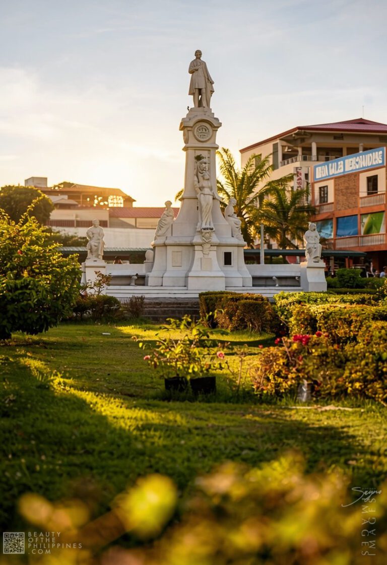
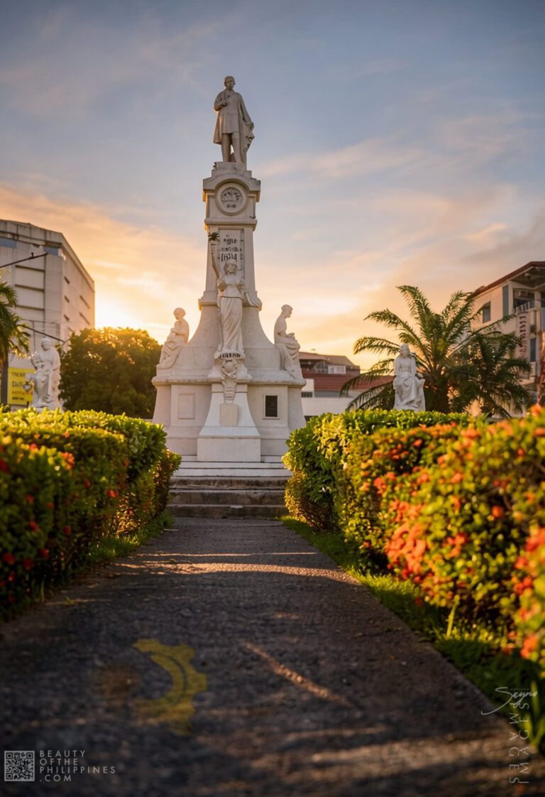
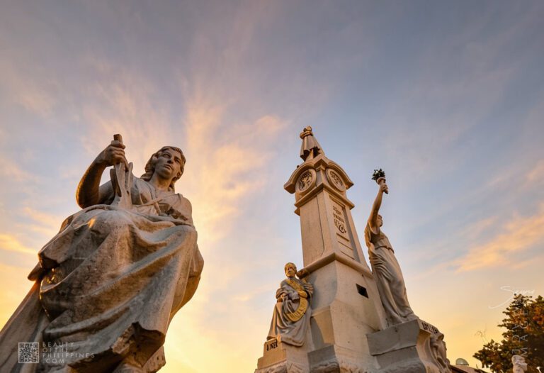
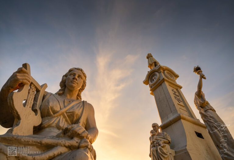
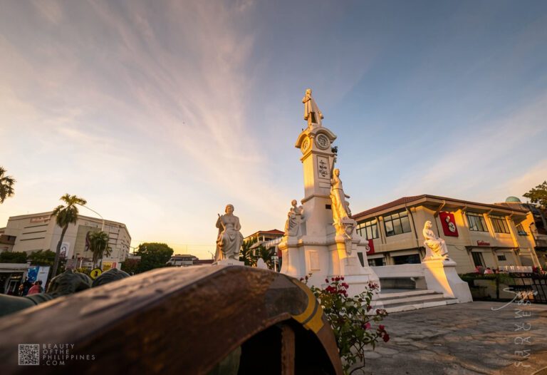
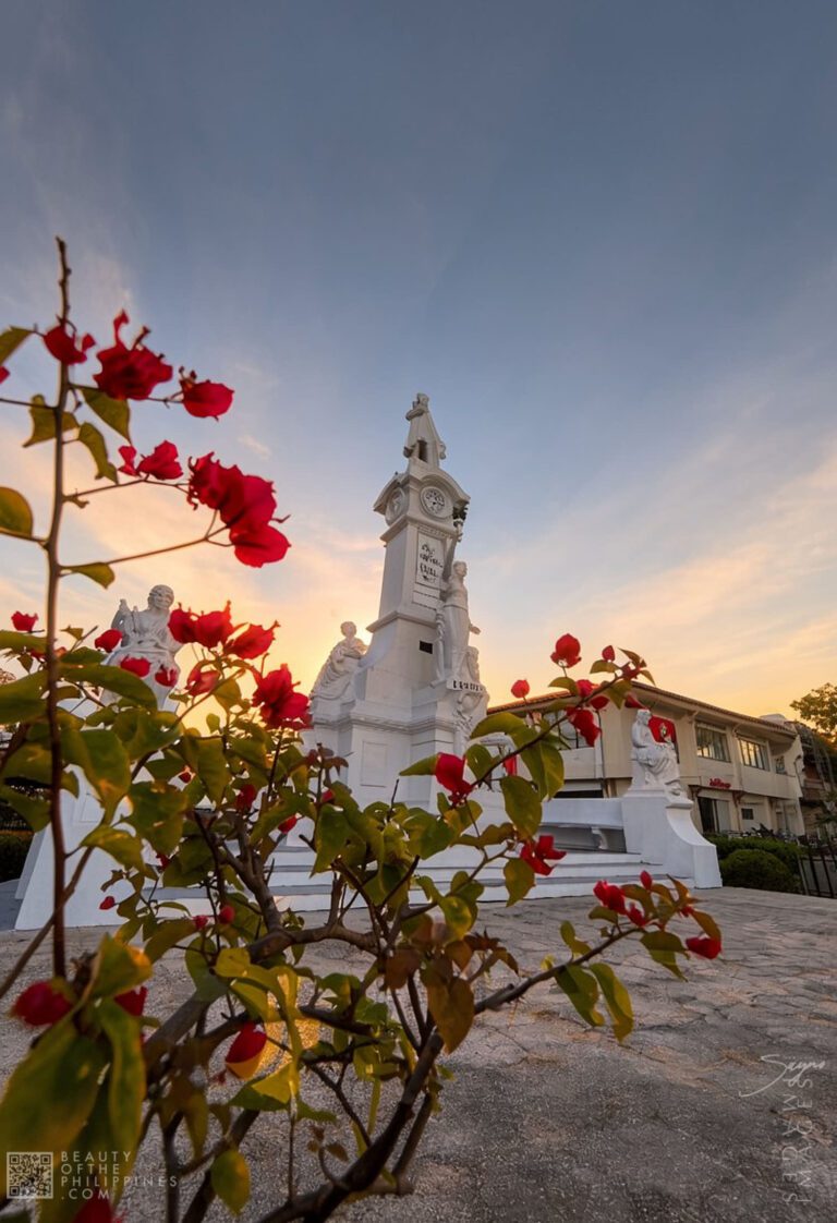
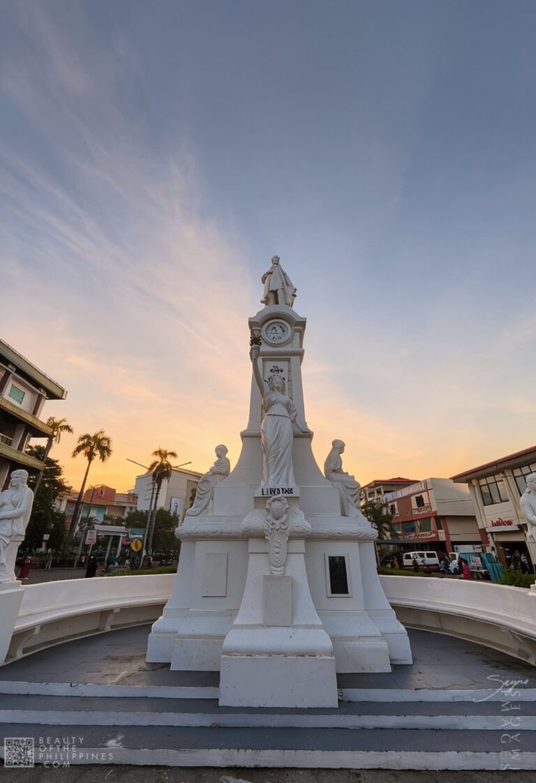
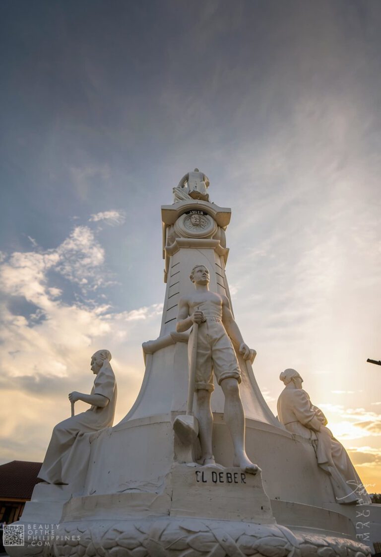
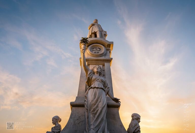
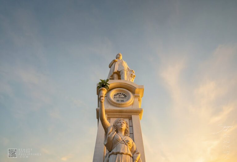
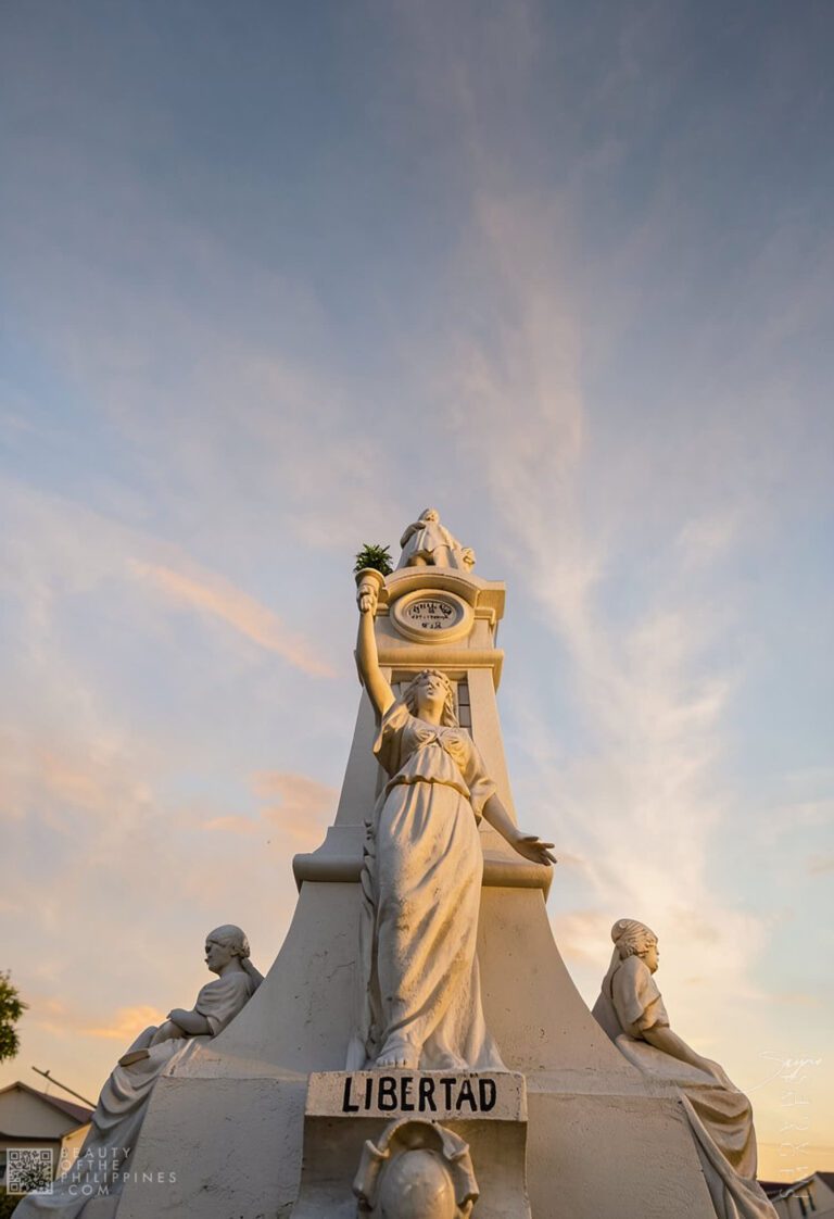
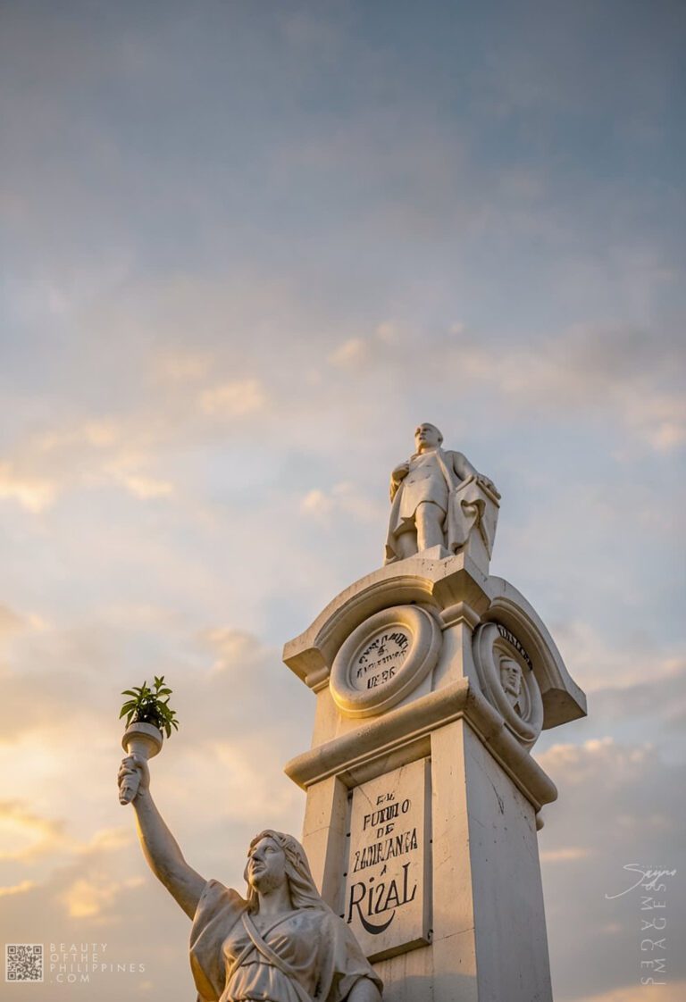
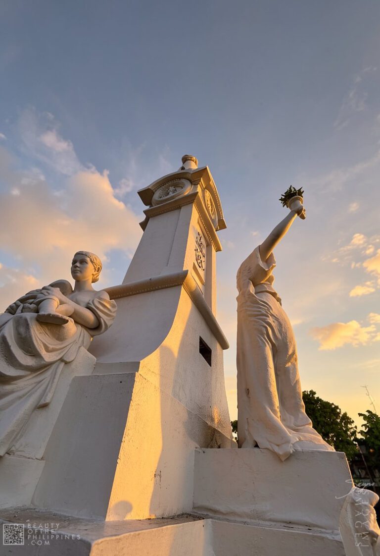
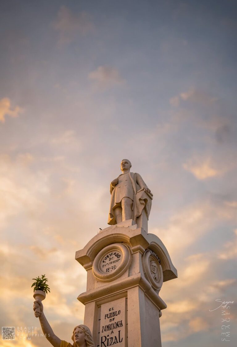
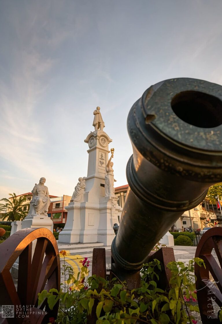
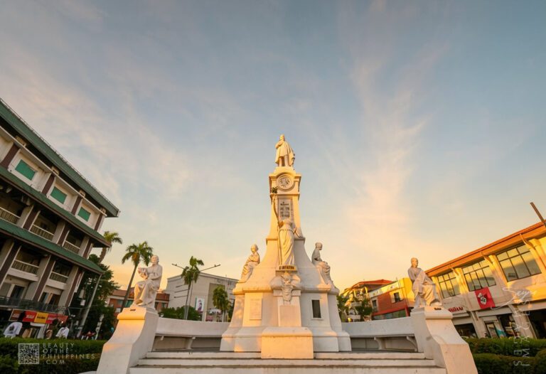
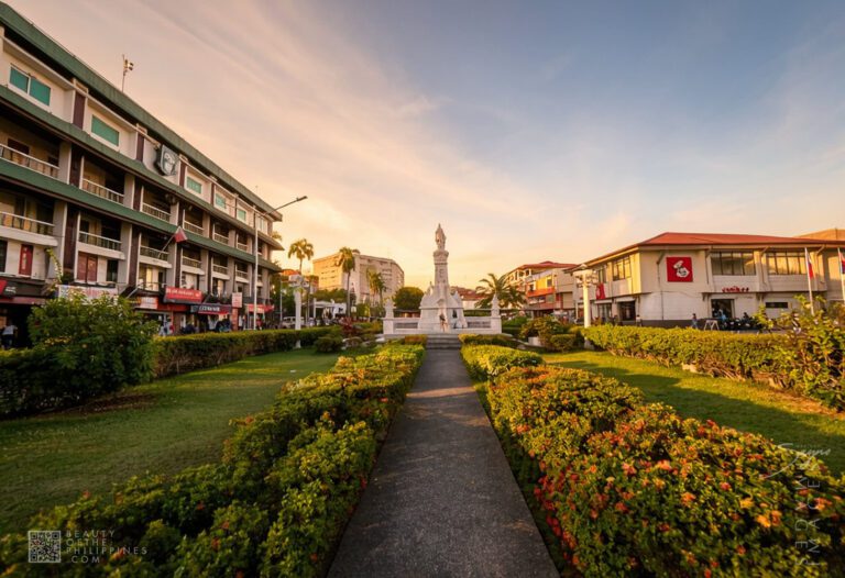
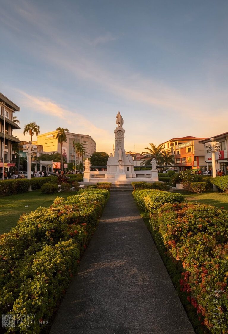
Although smaller than major parks in larger Philippine cities, Plaza Rizal maintains the atmosphere of a traditional civic plaza shaped by historical symbolism and public accessibility. Landscaped walkways, trimmed greenery, paved open sections, benches, and ornamental elements surround the park’s focal point — the monument dedicated to Dr. José Rizal.
Like many Rizal monuments throughout the country, the statue symbolizes nationalism, reformist ideals, and the struggle for Filipino identity during the closing decades of Spanish colonial rule. Within Zamboanga, however, the monument gains an additional layer of meaning because of its relationship with the colonial government structures surrounding the plaza. The visual contrast between the national hero’s monument and the nearby American-era civic architecture reinforces the layered colonial transitions that shaped the city’s development over time.
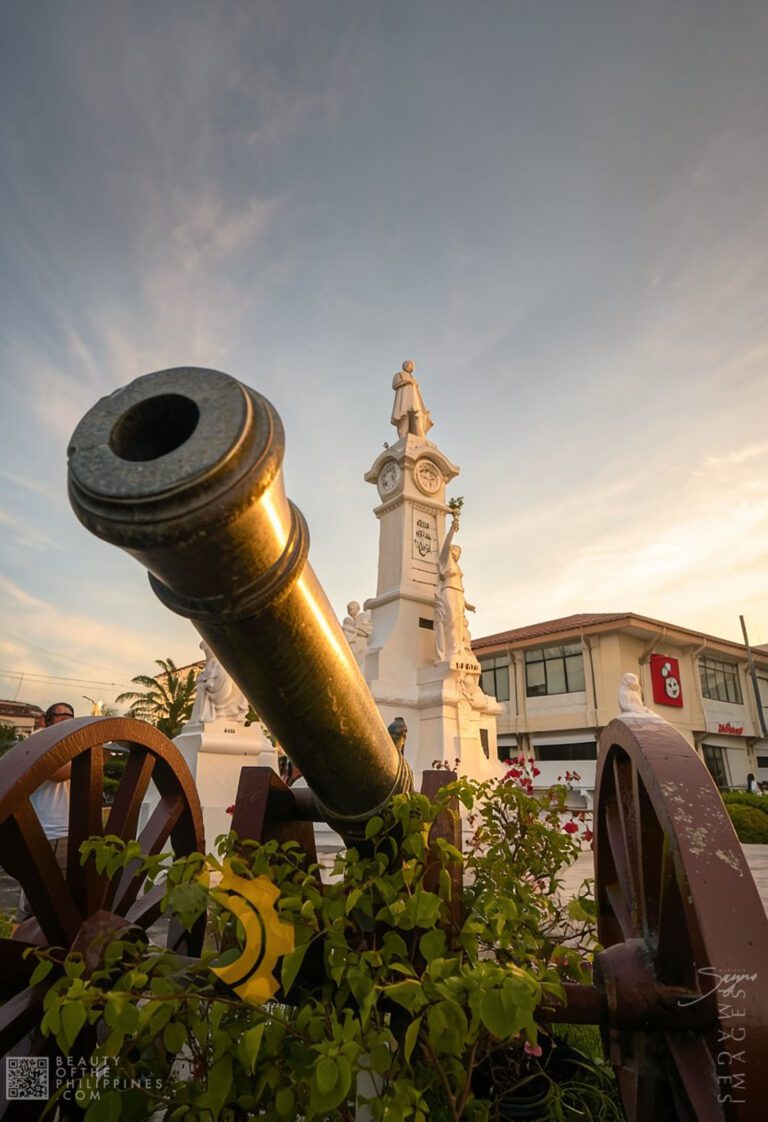
Cannons positioned around portions of the plaza further strengthen the historical atmosphere of the district. Together with nearby heritage structures and surviving colonial-era commercial buildings, these details contribute to the old-city character still visible within sections of downtown Zamboanga.
For photography, the plaza remains one of the most recognizable urban heritage compositions in the city. Early mornings often bring softer light across the park and city hall façade, while late afternoons create warmer tones against the colonial architecture and surrounding greenery. From several angles within the plaza, visitors can frame both the Rizal monument and the historic façade of Zamboanga City Hall within the same composition, a perspective that has become strongly associated with heritage photography in the downtown district.
One of the most important aspects of Plaza Rizal is that it functions as part of a broader heritage zone rather than as a standalone attraction. The surrounding downtown district remains historically connected to Spanish military administration, American-era governance, and the city’s early commercial growth.
Because several important landmarks stand relatively close to one another, the plaza frequently becomes part of walking tours through the heritage core of Zamboanga City. Visitors exploring the district often combine stops at Fort Pilar, the National Museum of the Philippines – Zamboanga, the Metropolitan Cathedral of the Immaculate Conception, and Zamboanga City Hall within the same itinerary.
Walking through this section of the city allows travelers to observe how multiple historical layers remain visible within the same urban environment. Religious landmarks, colonial government buildings, commercial establishments adapted into older structures, and contemporary businesses all exist side by side within streets that continue functioning as active parts of the city rather than preserved historical exhibits.
This accessibility also shapes the tourism experience itself. Unlike heritage districts requiring long transfers between attractions, the compact nature of downtown Zamboanga allows visitors to move gradually from one site to another while observing the details of the streetscape in between.
One of the defining characteristics of Plaza Rizal is how deeply integrated it remains within the everyday rhythm of the city. The plaza does not operate solely as a tourist landmark or ceremonial memorial space. Throughout the day, the area fills with ordinary public movement — students crossing between classes, vendors interacting with pedestrians, office workers resting during breaks, tourists photographing nearby structures, and commuters passing through the district.
This constant activity gives the plaza an atmosphere that feels lived-in rather than staged. During civic celebrations, political gatherings, commemorative programs, and especially the annual Hermosa Festival season every October, the park becomes even more active as cultural events and public gatherings extend into the downtown area.
The plaza also reflects the multicultural identity of Zamboanga City itself. The city has long been shaped by influences from Spanish, Tausug, Chavacano, Sama, Visayan, and other communities across western Mindanao. Conversations in Chavacano, one of Asia’s few Spanish-based creole languages, remain commonly heard around the district, adding another layer to the historical atmosphere surrounding the plaza and nearby streets.
For visitors exploring Zamboanga City, Plaza Rizal offers a quieter and more historically grounded alternative to the city’s island excursions and coastal attractions. Rather than functioning as a destination for beach tourism or outdoor adventure, the plaza appeals more strongly to travelers interested in architecture, heritage districts, urban history, and local civic identity.
The best way to experience the area is slowly and on foot. Walking around the plaza allows visitors to observe the surrounding heritage streetscape, surviving colonial-era structures, and government buildings that continue shaping the visual identity of central Zamboanga. Nearby cafés, eateries, fast-food establishments operating inside older buildings, and small commercial stores contribute to the district’s distinctive urban atmosphere.
Recent traveler discussions online frequently describe Zamboanga City as a destination with strong character, a unique cultural identity, and a comparatively relaxed urban environment when compared with larger Philippine cities. That atmosphere becomes especially visible around Plaza Rizal, where the movement of daily life continues against a backdrop shaped by more than a century of civic history.
Located along N.S. Valderosa Street within the city’s downtown commercial core, the plaza remains accessible through jeepneys, tricycles, taxis, and private vehicles. The park is generally open throughout the day and does not charge entrance fees, making it an easy addition to city heritage itineraries centered around downtown attractions.
By 2026, Plaza Rizal continued to hold importance not because of monumental scale or large redevelopment projects, but because of its continuity as a functioning civic and historical space within modern Zamboanga City. At a time when many urban centers in the Philippines have become increasingly dominated by commercial expansion and high-density redevelopment, the plaza still preserves visible elements of the city’s older urban identity.
Its significance lies in the relationship between memory, architecture, governance, and public life. The plaza remains one of the clearest physical reminders that the story of Zamboanga City was shaped not only by trade routes and coastal defense systems, but also by civic planning, colonial transitions, and the continued adaptation of heritage spaces within a modern Philippine city.
For travelers, photographers, and heritage enthusiasts, the strongest impression often comes not from a single monument or structure but from the atmosphere surrounding the district itself — the movement of people beneath old government façades, the sound of Chavacano conversations drifting across the plaza, and the enduring presence of a civic space that continues to function at the center of the city’s daily life.
RELATED STORIES

The drive east from Zamboanga City proper toward Barangay Taluksangay shifts gradually from busy urban streets to a calmer coastal stretch. About 19 kilometers out,


At the center of Plaza Rizal stands one of the most recognizable civic landmarks in Mindanao: Zamboanga City Hall. Seen from the surrounding streets of


Driving through Tumaga Road in Barangay Sta. Maria, I remember how the dome appeared before I even realized I was looking for it. The colors


The approach toward Little Sta. Cruz Island Sandbar begins along the coastlines facing the southwestern edge of Zamboanga City, where tourism boats gradually leave the

I’m looking forward to the stories and images leaving a lasting positive impression on you, just as they have on me. Stay connected with us on social media for a weekly exploration of travel assignments and breathtaking visuals. Our focus is on championing local tourism, showcasing small businesses, and honoring the magnificence of the Philippines through the content we curate. Join us in spreading the word by clicking the ‘share’ buttons below. Your support means the world to us.
EXPLORE MORE about


The approach toward Little Sta. Cruz Island Sandbar begins along the coastlines facing the southwestern edge of Zamboanga City, where tourism boats gradually leave the


The drive east from Zamboanga City proper toward Barangay Taluksangay shifts gradually from busy urban streets to a calmer coastal stretch. About 19 kilometers out,


Driving through Tumaga Road in Barangay Sta. Maria, I remember how the dome appeared before I even realized I was looking for it. The colors


At the center of Plaza Rizal stands one of the most recognizable civic landmarks in Mindanao: Zamboanga City Hall. Seen from the surrounding streets of
BROWSE BY CATEGORIES
BROWSE BY PROVINCE